by Oleg Dzhimiev
Both, Google Maps API and Open Layers API, are quite simple, though it can take some time to find a perfect example. The maps are added to the WebGL panorama view test page (read “Experimenting with WebGL panoramas”)
(more…)
by Stefan de Konink
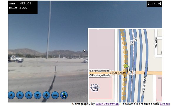
I have made some progress to integrate OpenLayers with EyesisPlayer resulting in EyesisMaps. Marek has added some Javascript callbacks to EyesisPlayer to allow features on OpenLayers to be updated and visa versa. So we gained a moveable arrow and interface directly with a PostgreSQL database via FeatureServer.
While still polishing it; but you can see the sneak preview:
by Stefan de Konink
Today I created a tiny bit of OpenLayers code for the Eyesis display page. It is basically a demo what you can do by playing points of interest on a map. Displaying the panorama and a smaller map.
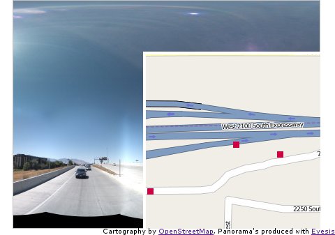
Currently I did not add a panorama player yet. But since it is only a matter of changing div’s that could be done easily. Personally I would like to go for a HTML5 kind of player, since for most browsers that would be the least resource intensive way of displaying. The code is available at http://eyesis.openstreetphoto.org/ there are some images there but only lowres from the initial stichting tryouts.
