by Stefan de Konink
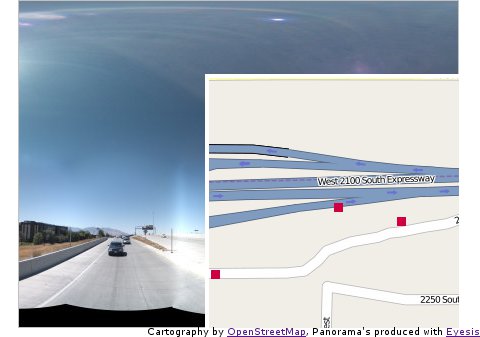
Today I created a tiny bit of OpenLayers code for the Eyesis display page. It is basically a demo what you can do by playing points of interest on a map. Displaying the panorama and a smaller map.

Currently I did not add a panorama player yet. But since it is only a matter of changing div’s that could be done easily. Personally I would like to go for a HTML5 kind of player, since for most browsers that would be the least resource intensive way of displaying. The code is available at http://eyesis.openstreetphoto.org/ there are some images there but only lowres from the initial stichting tryouts.
by Stefan de Konink
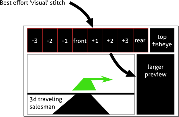
Tonight I was thinking about what the possibilities are for the driver to actually see what he is shooting and at the same time facilitate appliances such as traveling salesman routing for the fastest shooting experience. I have some other ideas for the ‘main’ screen such as a 2D map with trails where the car has been (or where photo’s were taken). It seems a logical decision to even incorporate a menu to start or stop shooting or see data statistics as well.

I would like to encourage others to come up with other appliances that could be ‘nice’ to have while drive and shooting. Let me give shot: ‘cute girl tag’-button.
by David

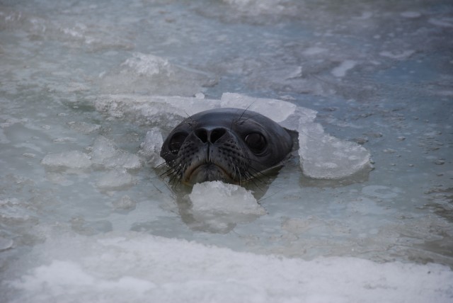
The Submersible Capable of under-Ice Navigation and Imaging (SCINI) is an underwater remotely operated vehicle (ROV) designed to facilitate oceanographic science research in extreme polar environments. The project was part of a three year grant, starting in 2007, from the National Science Foundation aiming to develop a cost-effective research tool that can be easily deployed through a 20cm hole in the ice. Over the past three austral summers, field teams led by benthic ecologist Dr. Stacy Kim and SCINI inventor Bob Zook, took the ROV into the cold southern waters surrounding McMurdo Station, Antarctica to capture video from parts of the natural world that have never been seen before.
(more…)


